Hydraulic Design of Viti Levu Bridges

Client
Scope
Impact
Client
Scope
Impact
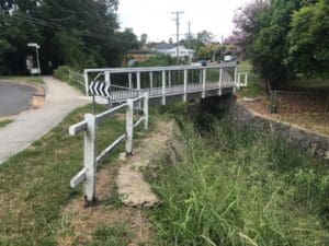
The Fiji Roads Authority (FRA) was established in January 2012 to effectively manage and develop Fiji’s road network. Over the last couple of years, FRA has moved from a standing start to managing a $600 million programme of maintenance, renewal and capital works projects, including the design and replacement of many bridges that have been severely damaged or entirely lost in recent flood events.
Working with Entec, a Fijian civil and geotechnical engineering consultancy, WMS undertook the hydrologic and hydraulic analyses and scour assessments to inform detailed design of four bridges in Balenabelo, Navaga, Vorovoro and Naseyani on the island of Viti Levu. The four bridges are located up to 100 km apart, either side of the dry/wet zone boundary.
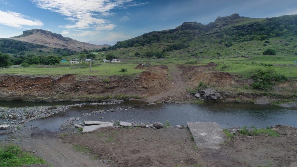
Following site visits to inspect the proposed bridge locations and inform hydraulic design, the limited available data was collated and reviewed. The available rainfall data was analysed to produce design rainfall intensity-frequency-duration (IFD) depths. Hydrologic models were set up to determine peak flows for a range of design events using produced IFD rainfall. Hydraulic models were subsequently set up to determine peak water levels and velocities at the proposed bridge locations to set bridge deck levels, assess potential bridge scour and provide recommendations for scour protection.
Once constructed, the new bridges will provide much improved connectivity for village residents, significantly improve flood immunity of the crossings and provide a much safer and more resilient solution for years to come.