Tenterfield Dam Bathymetric Survey

Client
Scope
Impact
Client
Scope
Impact
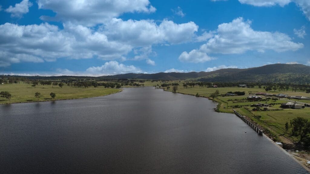
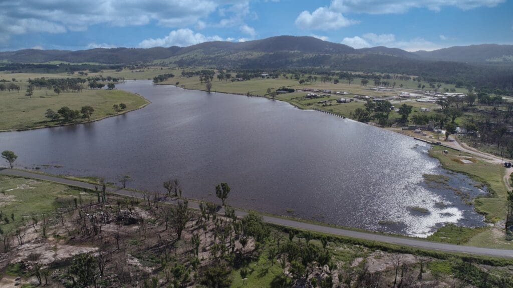
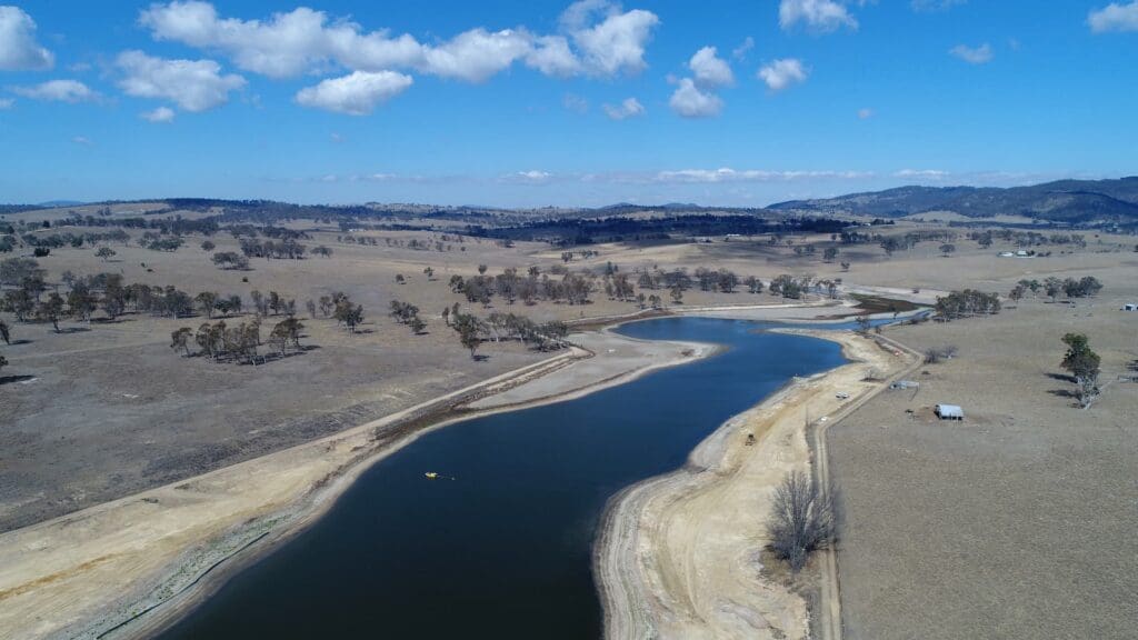
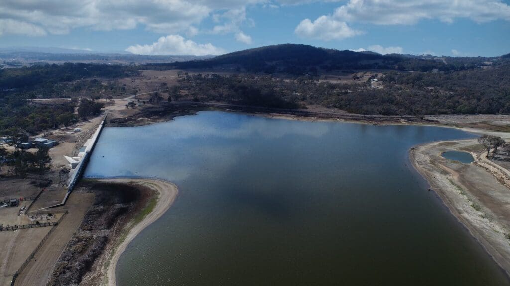
In early 2019, Tenterfield was in the grips of the worst drought on record. The town’s main water supply is Tenterfield Dam that by February 2019 was at 31% capacity with an estimated 350 days of water supply remaining. Further to this, as there were no previous bathymetric surveys for Tenterfield Dam on record, there was considerable uncertainty as to the accuracy of the calculated volume of water remaining in the dam and how much sedimentation had taken place.
WMS supplied a Coxwain and small vessel to conduct a highly accurate bathymetric survey using a Sontek M9 ADCP. In the following fortnight, we were able to accurately determine the volume of water remaining in the dam and the volume of sediment. Following heavy rainfall 12 months later, we were able to return and survey the previously inaccessible areas of the dam and determine that no significant additional sedimentation had occurred.
Bathymetric survey provides a greater understanding of the topography under the water. This survey data can then be used for a number of applications including siltation assessment and to support water quality studies.
For community of Tenterfield, we were able to provide accurate information to volume of water remaining in the main water supply during the height of the worst drought on record. We were also able to calculate the volume of sediment in the dam to support future works. Later, when the dam was at 100% capacity following heavy rains, we were able to update the survey for the full dam area and confirm that no significant additional sedimentation had occurred as a result of the recent inflows. This means the community can have confidence in future volume estimates.
Related Projects
McKinnon Creek Detention Basin Failure Impact Assessment